Conditions & tides
Scored by DiveConnect's site-physics model
Marine forecast via Copernicus Marine. Score is a rule-based guide from swell/wind vs. the site's exposure — always dive your own assessment.
Dived here today? How were conditions vs. what we showed?
About this site
These coordinates fall in the Caribbean Sea off the north coast of the Dominican Republic, near Bayahibe and Punta Cana on the country's southeastern shore. The name translates to "sunken ship," suggesting a wreck site, but no verifiable details tie it to a specific documented vessel.
AI overviewMarine life here
Confirmed by our research team, reported by independent divers, or observed nearby via iNaturalist — each entry is labelled with its source.
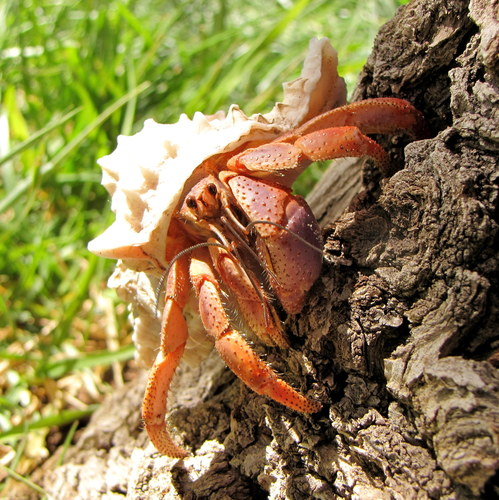 Caribbean Land Hermit CrabCoenobita clypeatusReported here · unconfirmed
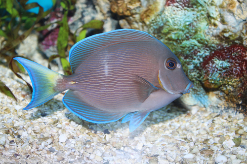 Atlantic Blue TangAcanthurus coeruleusReported here · unconfirmed
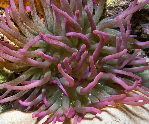 Giant AnemoneCondylactis giganteaReported here · unconfirmed
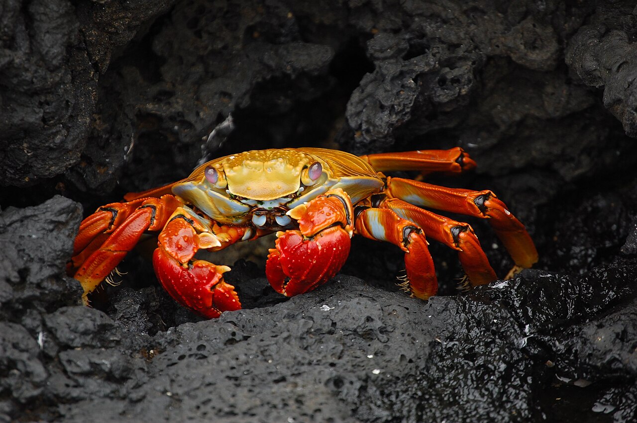 Sally Lightfoot CrabGrapsus grapsusReported here · unconfirmed
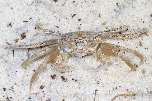 Atlantic Ghost CrabOcypode quadrataReported here · unconfirmed
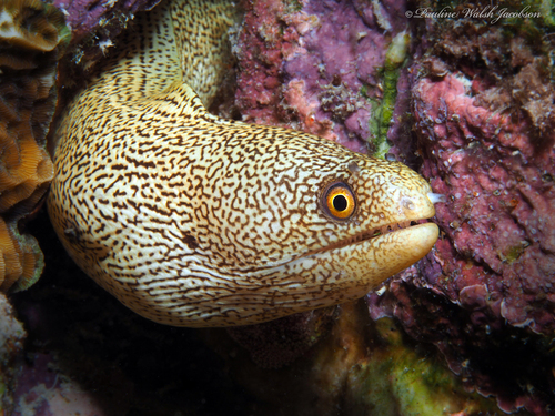 Goldentail MorayGymnothorax miliarisReported here · unconfirmed
Durable tips from divers — access, hazards, marine life, facilities. For day-of conditions, use the report tool in the conditions card above.
No notes yet. Dived here? Be the first to leave a tip.
Share a write-up or a photo. Submissions are reviewed before they appear on the page.
Nearby dive sites
Shops that dive here
No shops have listed this site yet.