Conditions & tides
Scored by DiveConnect's site-physics model
Marine forecast via Copernicus Marine. Score is a rule-based guide from swell/wind vs. the site's exposure — always dive your own assessment.
Dived here today? How were conditions vs. what we showed?
About this site
Carrick Roads is the large natural harbour formed by the drowned estuary of the River Fal on the south coast of Cornwall, stretching from Falmouth up towards Truro. It is one of the deepest natural harbours in the world and has long been used as a deep-water anchorage and shipping channel. The surrounding waters include the Fal oyster fishery, worked traditionally under sail and oar.
AI overviewMarine life here
Confirmed by our research team, reported by independent divers, or observed nearby via iNaturalist — each entry is labelled with its source.
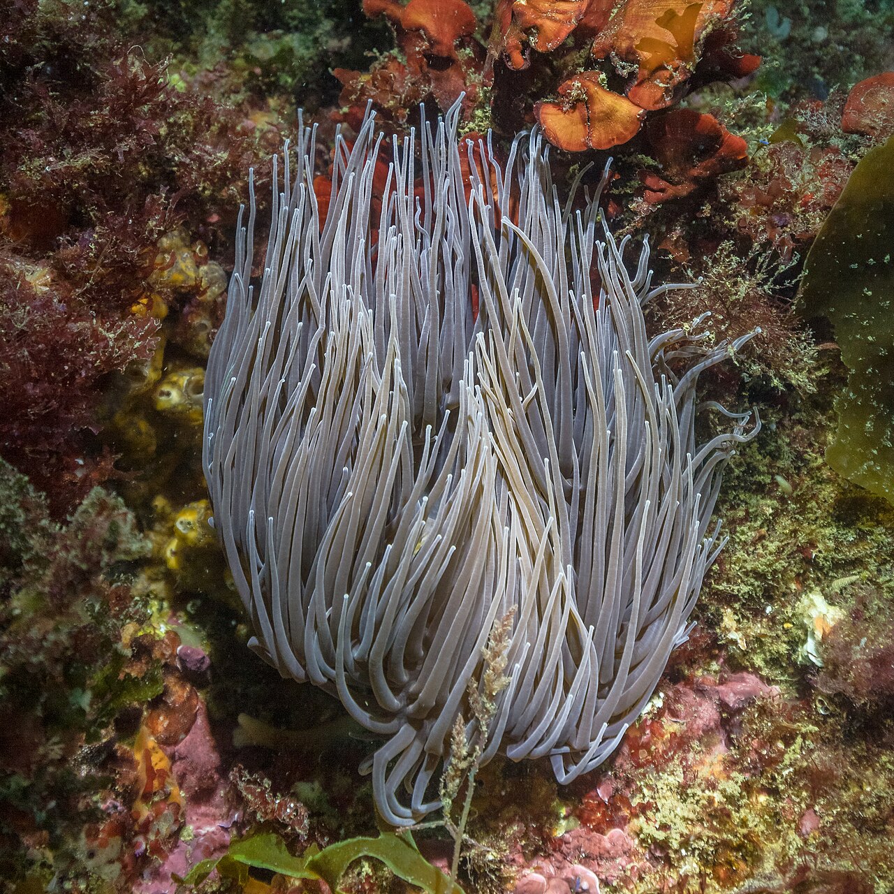 snakelocks anemoneAnemonia viridisReported here · unconfirmed
Durable tips from divers — access, hazards, marine life, facilities. For day-of conditions, use the report tool in the conditions card above.
No notes yet. Dived here? Be the first to leave a tip.
Share a write-up or a photo. Submissions are reviewed before they appear on the page.
Nearby dive sites
Shops that dive here
No shops have listed this site yet.