Conditions & tides
Scored by DiveConnect's site-physics model
Marine forecast via Copernicus Marine. Score is a rule-based guide from swell/wind vs. the site's exposure — always dive your own assessment.
Dived here today? How were conditions vs. what we showed?
About this site
DS Martha lies in Norwegian waters at a location near the far north of the country, close to the Barents Sea coast around 70.7°N. Coordinates in this area place it off the coast of Finnmark, the northernmost county of Norway, where the shoreline is exposed to open sea conditions.
AI overviewMarine life here
Confirmed by our research team, reported by independent divers, or observed nearby via iNaturalist — each entry is labelled with its source.
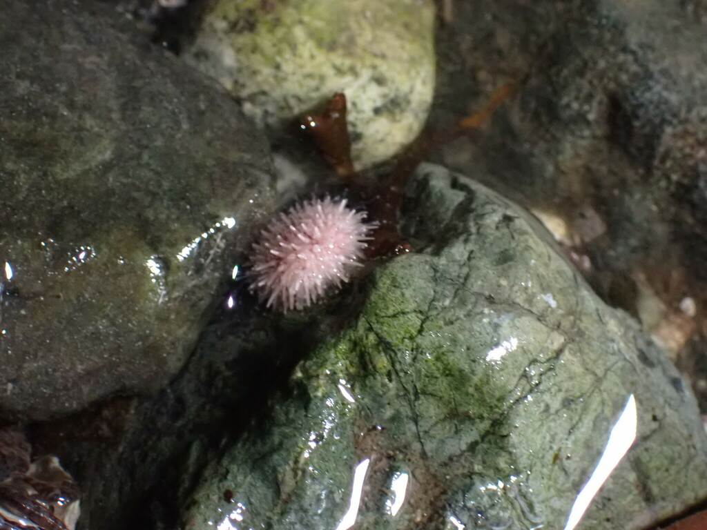 Arctic Green Sea UrchinStrongylocentrotus droebachiensisReported here · unconfirmed
Durable tips from divers — access, hazards, marine life, facilities. For day-of conditions, use the report tool in the conditions card above.
No notes yet. Dived here? Be the first to leave a tip.
Share a write-up or a photo. Submissions are reviewed before they appear on the page.
Nearby dive sites
Shops that dive here
No shops have listed this site yet.