Lock 21
Conditions
Scored by DiveConnect's site-physics model
Marine forecast via Copernicus Marine. Score is a rule-based guide from swell/wind vs. the site's exposure — always dive your own assessment.
Dived here today? How were conditions vs. what we showed?
About this site
Lock 21 is a submerged historic canal lock located off the southwestern end of Macdonell Island in the Long Sault Provincial Park, near Ingleside, Ontario, on the St. Lawrence River. Guard Lock 21 was built in 1885–86 as part of a second enlargement to the Cornwall Canal system, designed to circumvent the Long Sault rapids; the lock is 270 feet long between its gates, 45 feet wide, and had 14 feet of clearance over the sill. Operated first by the Department of Railways and Canals until 1936, then by the Department of Transport, the entire area was eventually flooded to serve as headwater for the Hydro dam at Cornwall. Divers can explore the old lock gates, the sluice-gates of the weir (all closed except the southernmost, which can be swum through), various mechanisms that operated the lock, a rail trailer, and the foundations of the lockkeeper's cabin.
The site reaches a maximum depth of around 19–20 m (65 ft), with the upper structure of the lock encountered at roughly 9 m (30 ft). The lock walls, walkways, and weir structures provide the main relief in what is otherwise a river environment with a strong 2–3 knot current running through the St. Lawrence.
The sheltered areas of the lock attract a variety of species that use the structure to escape the current, including round goby, bass, sunfish, perch, carp, walleye, St. Lawrence eels, crayfish, and spotted loaches.
Read the full guideShow less
Lock 21 is a shore dive, accessed by land from the Historic plaque on Macdonell Island via the Long Sault Parkway (a per-car fee applies), reached from Highway 401 via exits to Ingleside or Long Sault, then along Highway 2. The recommended entry technique is to snorkel against the current to reach a buoy roughly 30 m (100 ft) from shore; a guide rope tied to the buoy leads down to the upper lock structure. The current typically eases once you are within the lock itself, but can be strong on the return. Picnic tables are on site, with a snack bar, washrooms, nature trail, and camping about 4 km away on Woodlands Island.
Visibility is poor, and current is consistently strong — conditions that place this site firmly in the advanced category despite its relatively modest maximum depth. It is classified as an advanced shore dive, and the combination of current management, low visibility navigation, and wreck penetration through the sluice-gate opening means it is not suitable for novice divers.
Marine life here
Confirmed by our research team, reported by independent divers, or observed nearby via iNaturalist — each entry is labelled with its source.
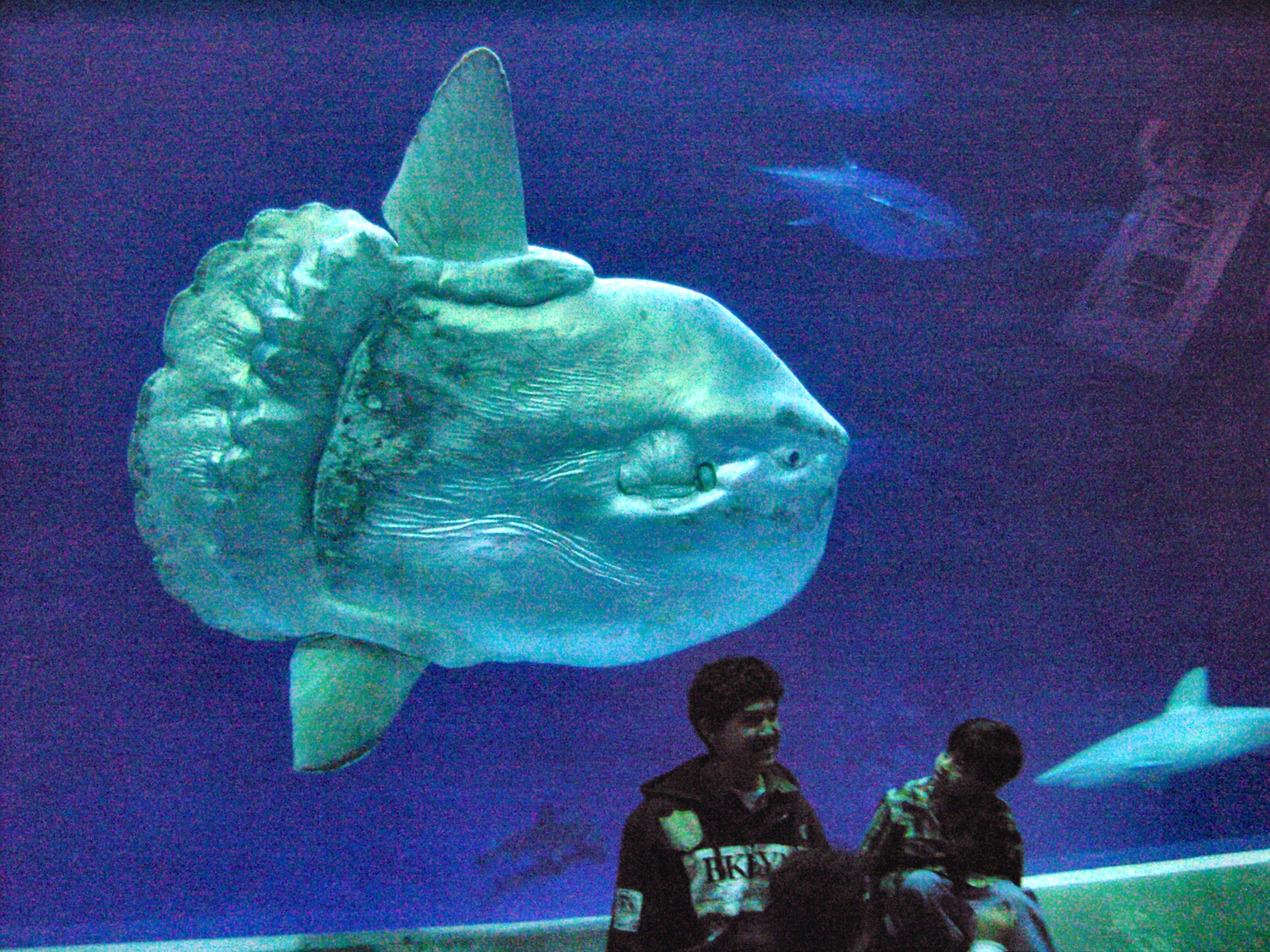 Mola mola (ocean sunfish)Mola mola (ocean sunfish)Reported here · unconfirmed
Durable tips from divers — access, hazards, marine life, facilities. For day-of conditions, use the report tool in the conditions card above.
No notes yet. Dived here? Be the first to leave a tip.
Share a write-up or a photo. Submissions are reviewed before they appear on the page.
Nearby dive sites
Shops that dive here
No shops have listed this site yet.